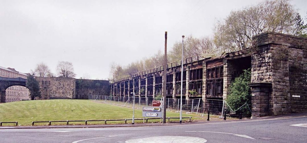
Coal drops - webpage
Berry Lane
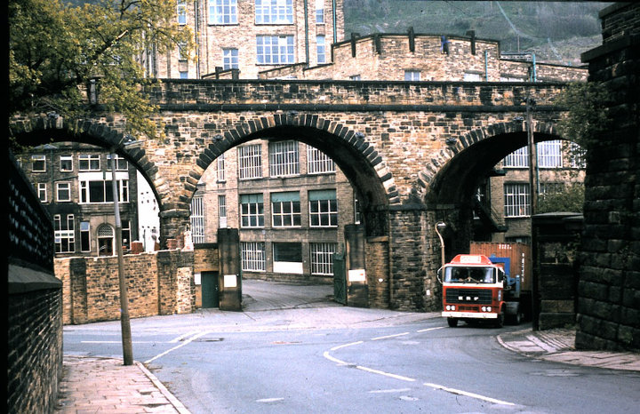
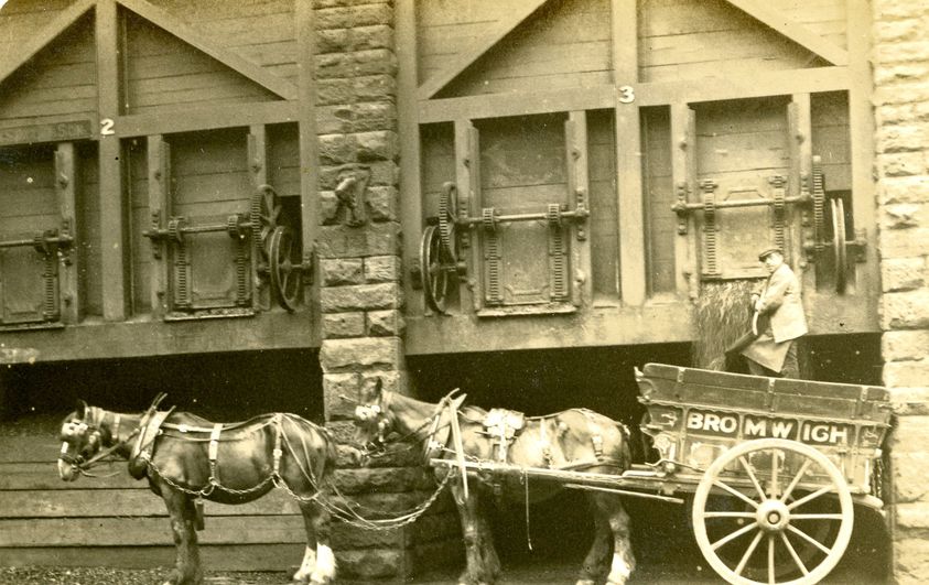
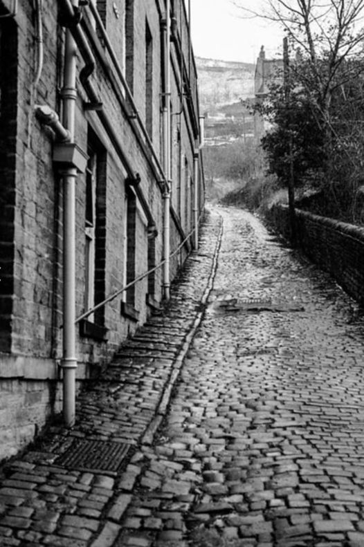
Above- The road where the wagon is coming from is Berry Lane. This leads around to Mackintoshes and then changes to Bailey Hall Road which leads on Swan Bank Lane to Swan Bank, Caddy Field and Stoney Royd areas at the bottom of Trooper Lane.
Beerhouses along this road included:-
T' Cat I' Th' Window - 8/10 Lower Kirkgate
Dublin Arms (aka Wagon and Horses) - 7 Berry Lane. It closed in 1905.
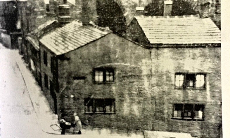
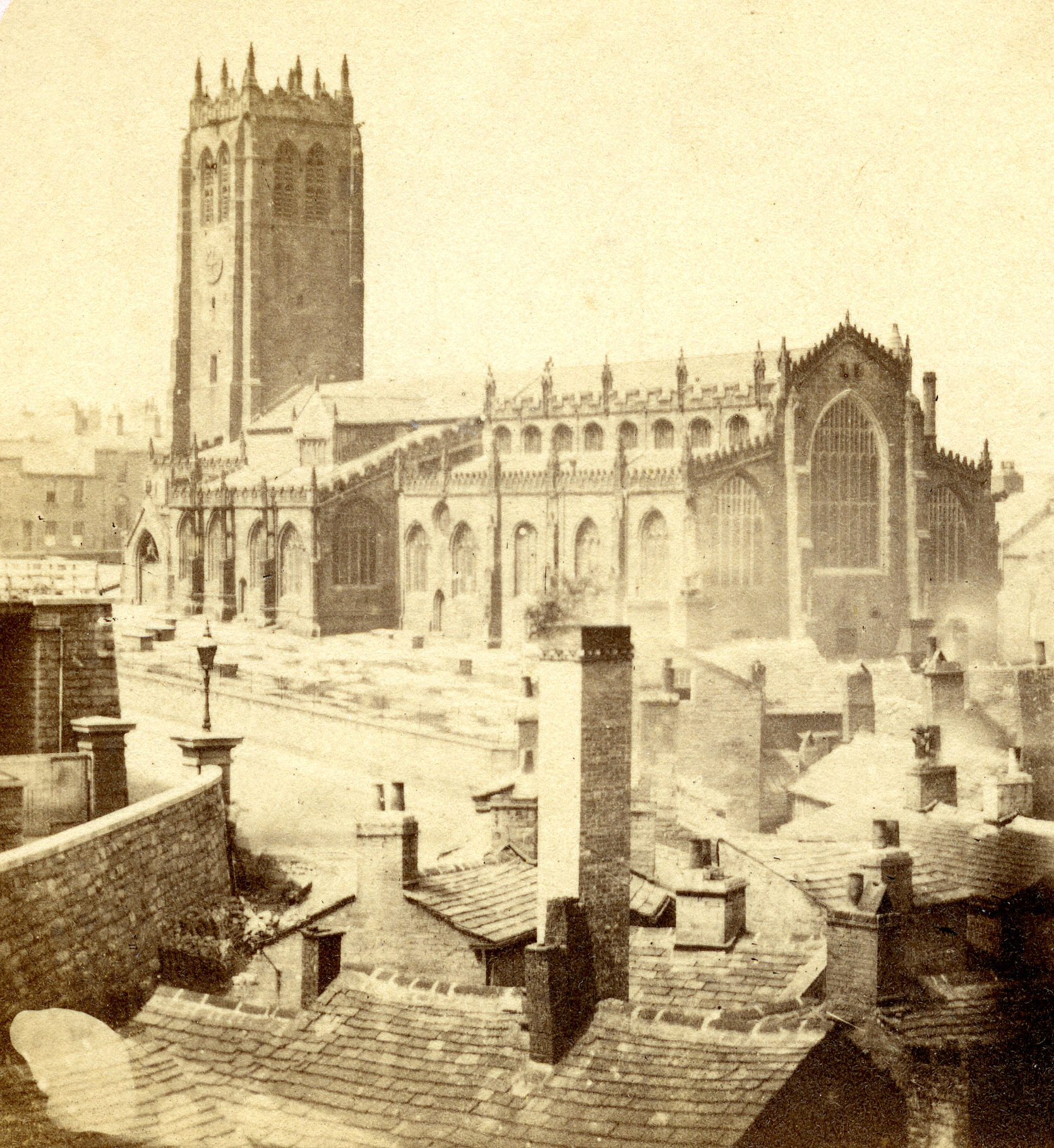
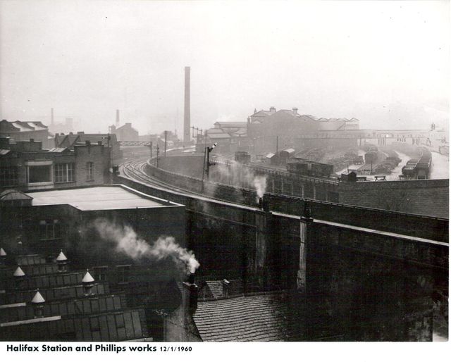
Cat I'th Window stood at 8/10 Lower Kirkgate, where the entrance to Matalan carpark is. If you walked up the left side of the picture you would be walking below the bottom of the Halifax Minster grounds.
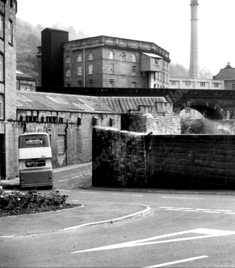
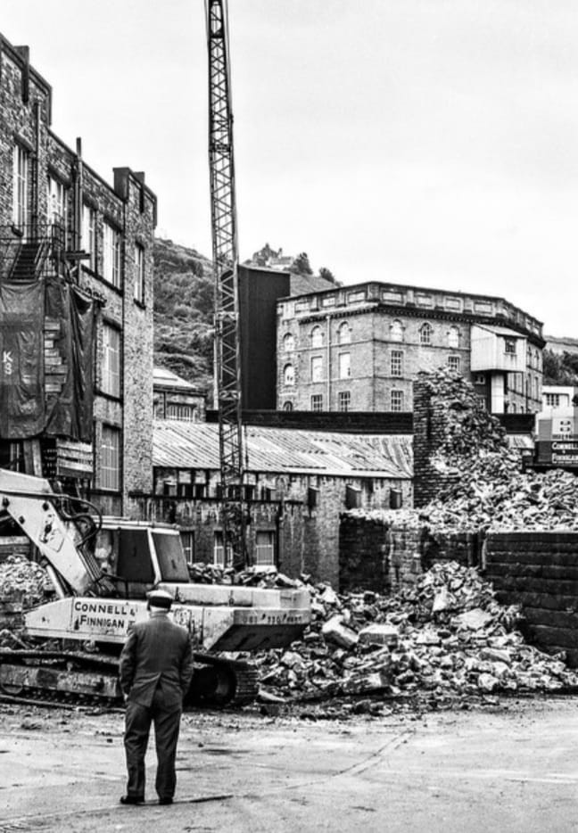
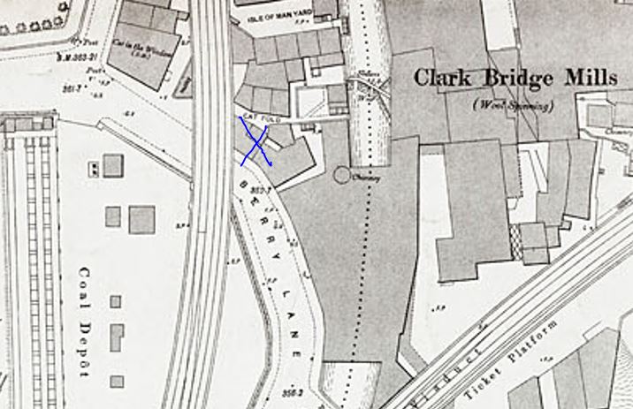
The cross is where Dublin Arms was
 |
 |
Steve Gee
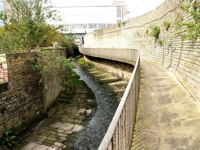
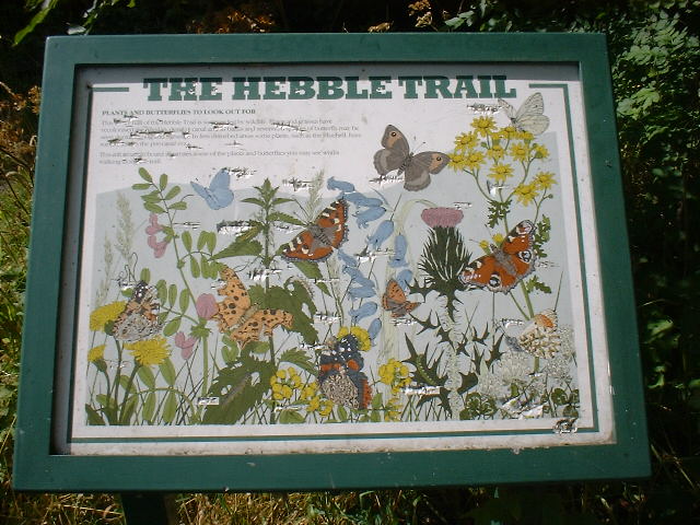
click here for the Hebble Trail
we now return to Clarkebridge
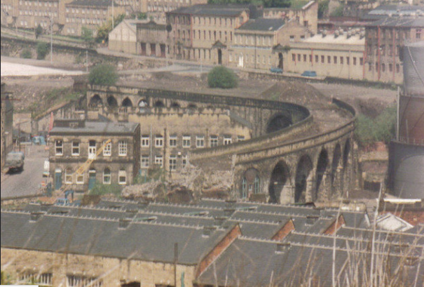
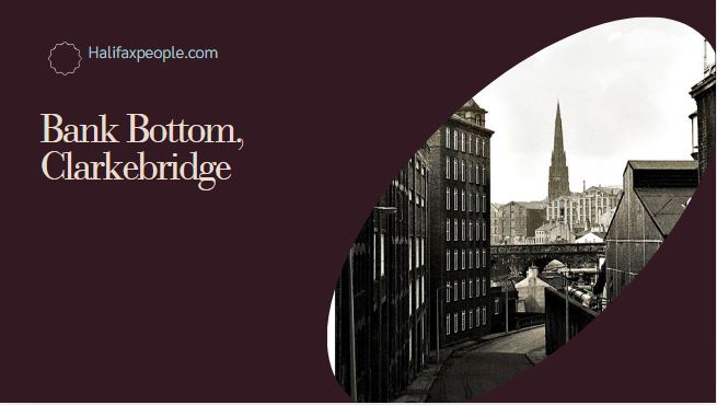
Clarke's Bridge at Bank Bottom
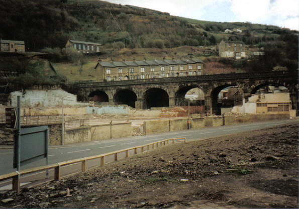
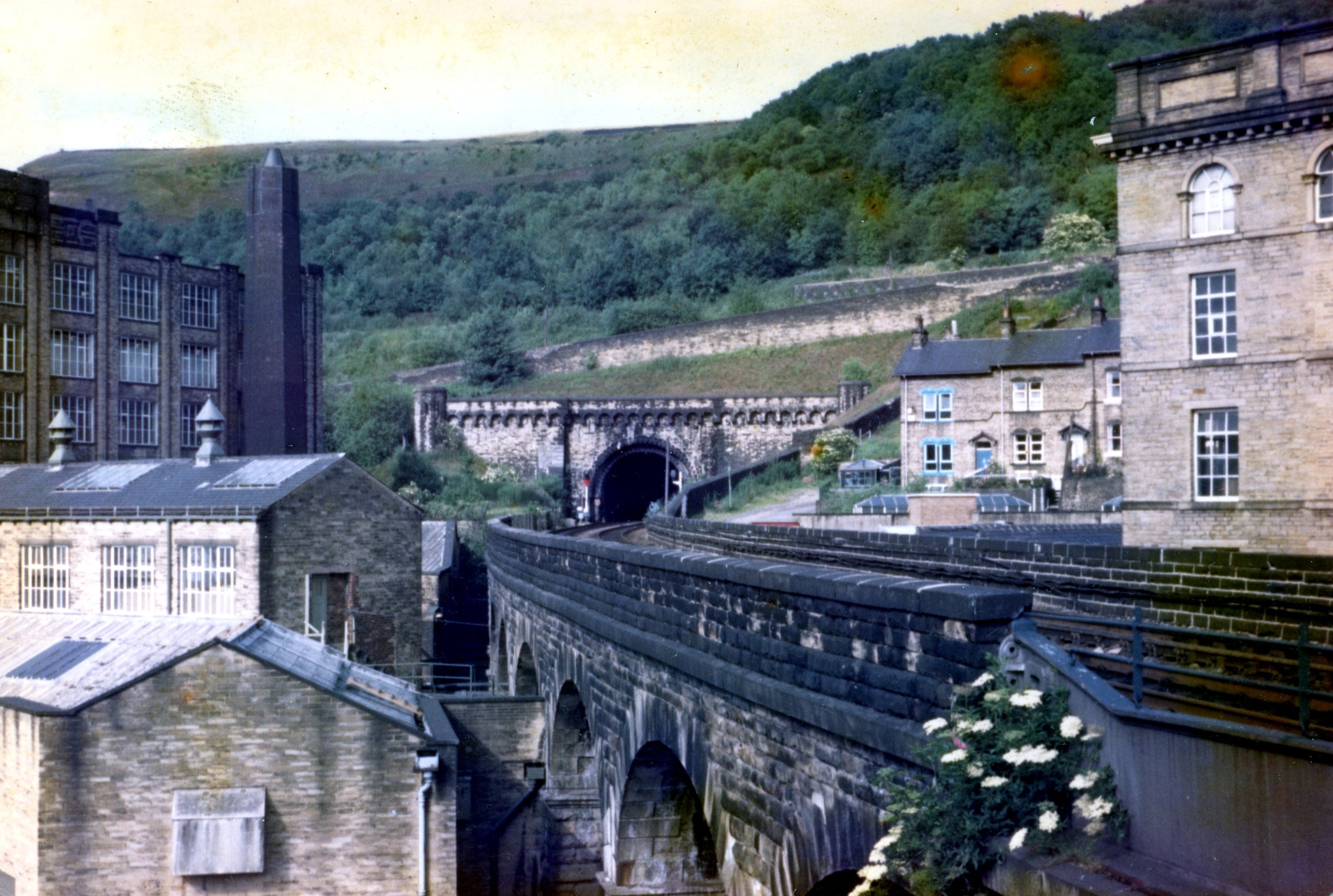
Taken from the back of Mackintoshes
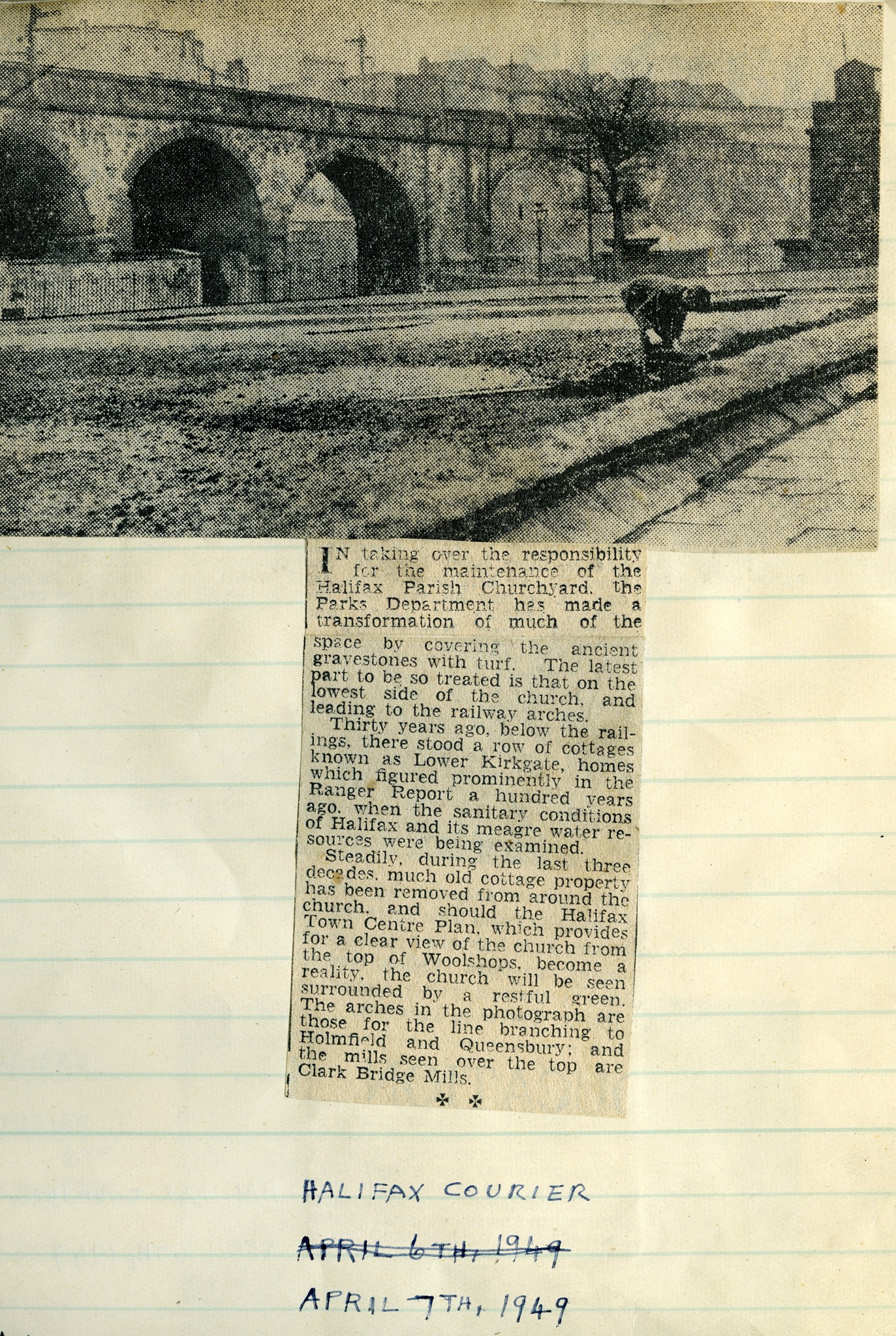
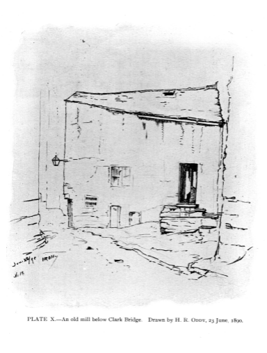
Clarkebridge
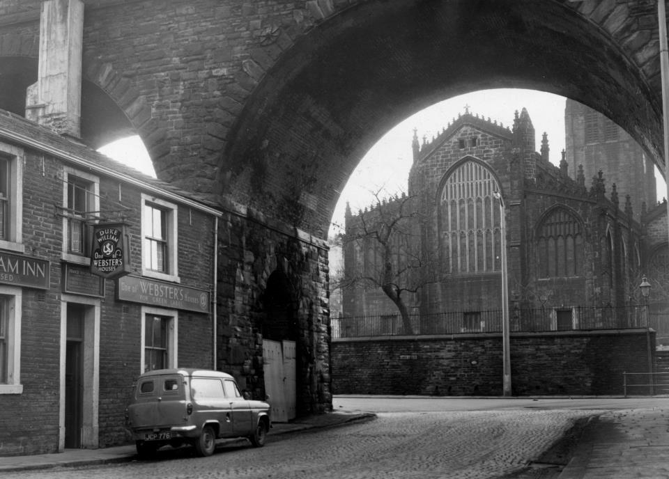
Duke William Inn, Bank Bottom
The Lamb Inn and Strangers Rest Inn was on the right.
The Lamb Inn which stood at the corner of Church Street and Clarke Bridge. This pub may have given its name to the Lamb on the platform at the train station after it was demolished. Landlords listed from 1822-1867.
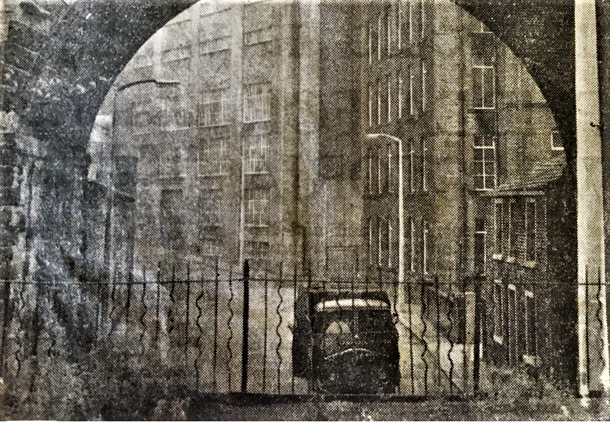
Duke William on the right
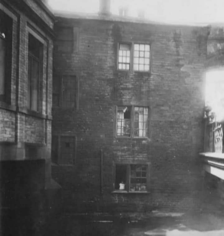
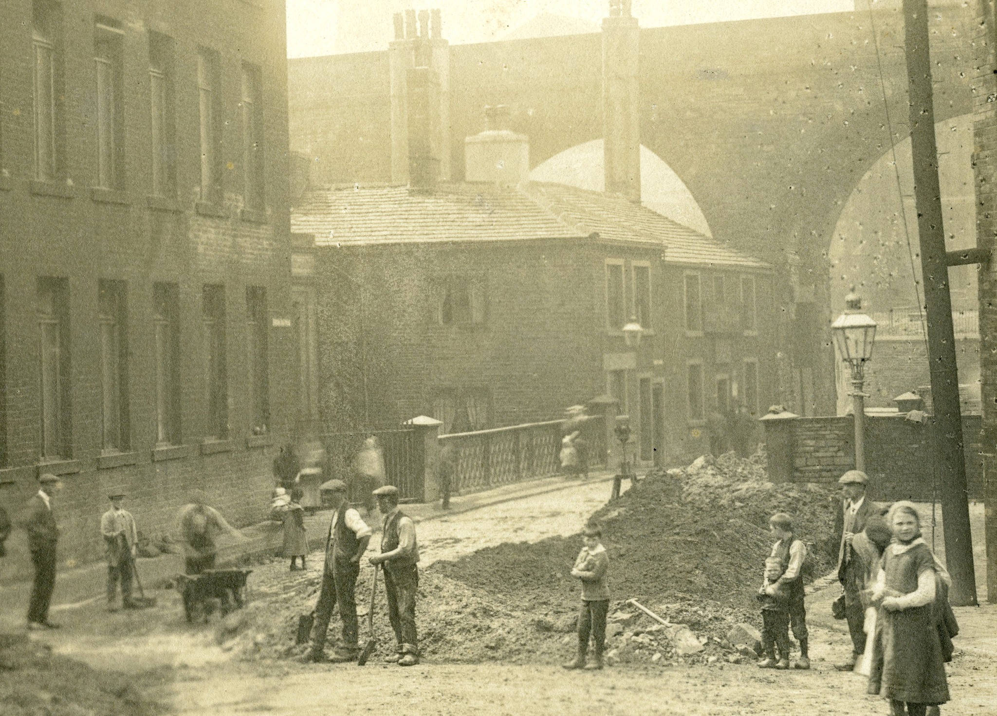
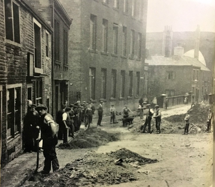
From Halifax Pubs by Stephen Gee
Here we see the Duke William Inn in the distance and the workers outside the Moulders Arms which closed in 1921.
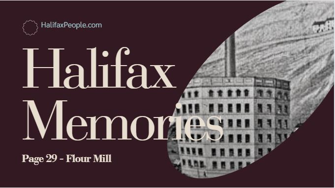
Clarkebridge Mills
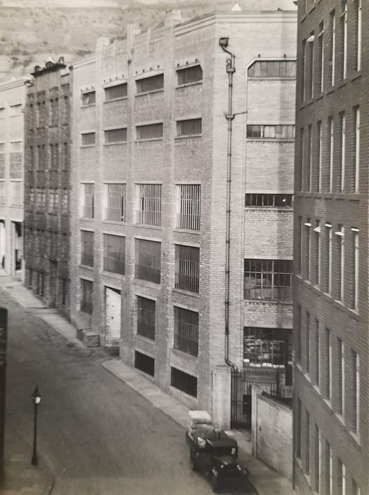
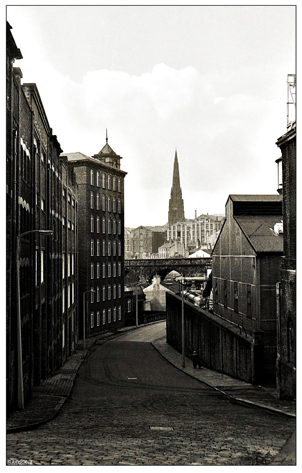
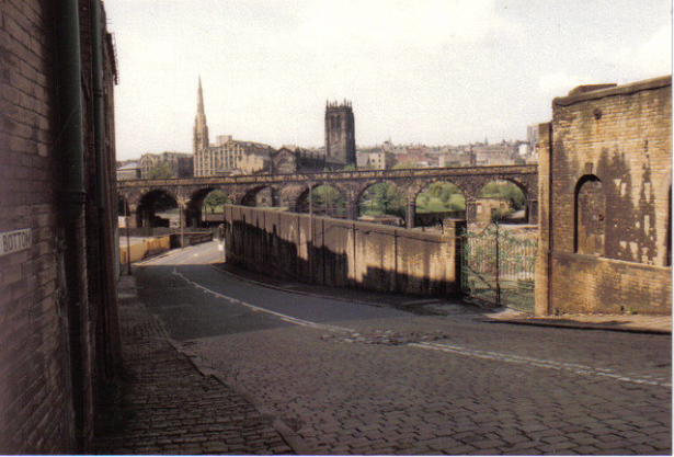
Gas works on the right
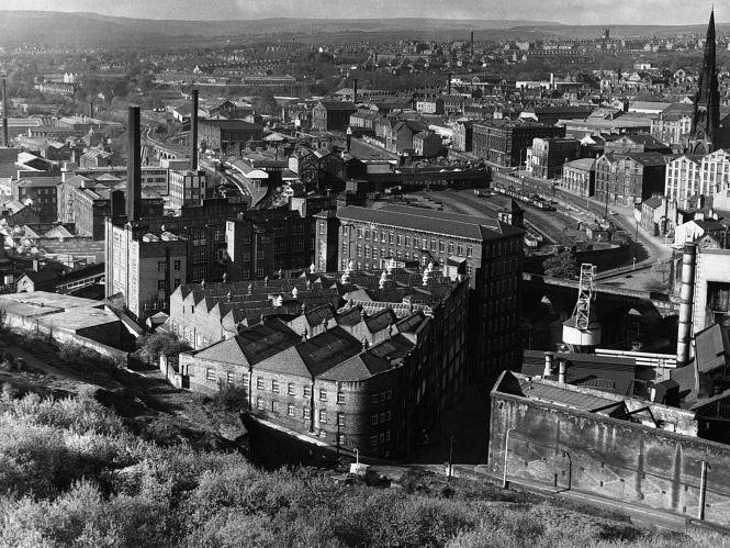
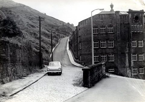
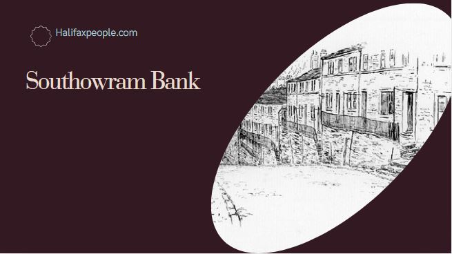
Above - Looking up Southowram Bank, Magna Via to the left and Clarkes Bridge/Bank Bottom to the right.
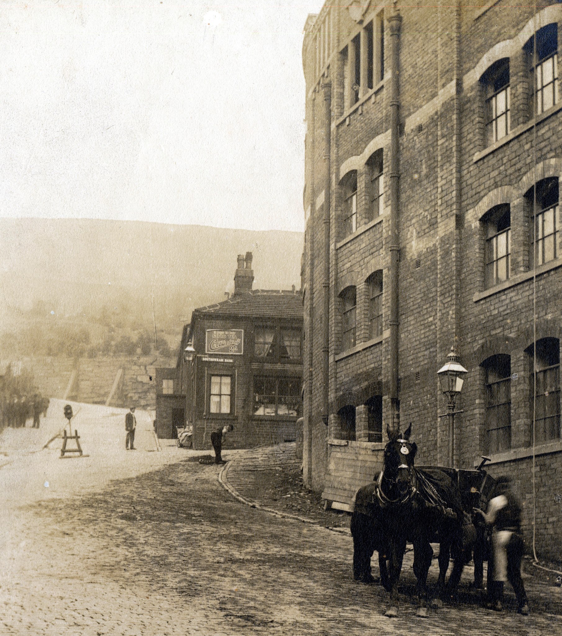
Bank Bottom thanks to Steve Gee
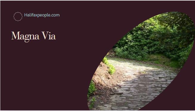
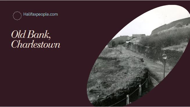
Straight forward we can see the old Roman road which is called the Magna Via or Old Bank
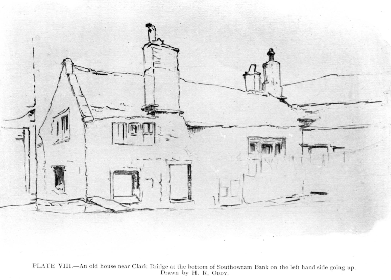
If we turn left we are on Charlestown Road
If you have enjoyed your visit to this website, please spread the word by clicking the 'like' and 'share' buttons below. Thank you
